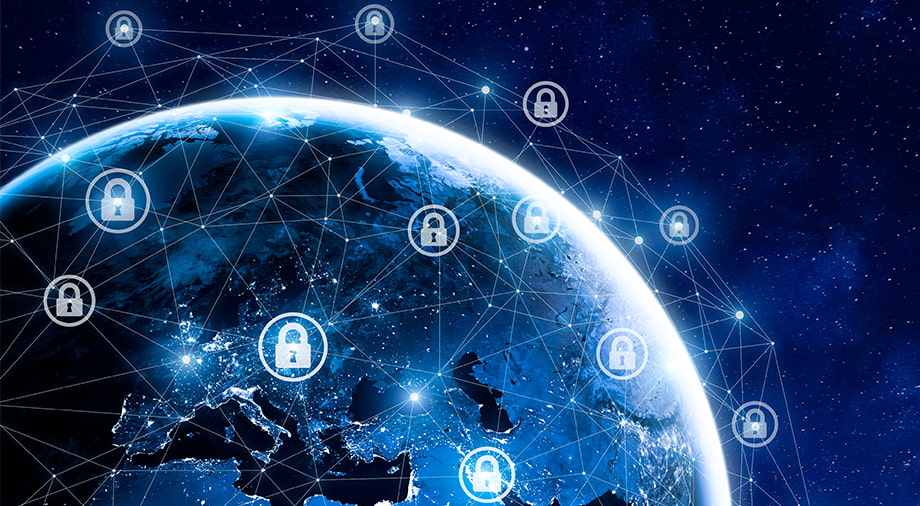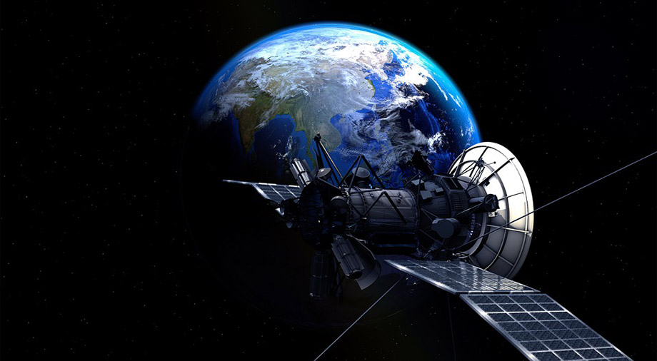
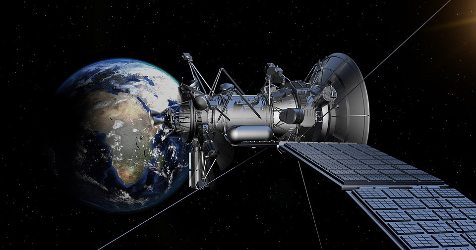
Every day in the media, we read stories about the launches of new satellites into space, or the development of rockets by so-called “New Space” entrepreneurs (a group of innovators using space technologies for the benefit of humanity and making space accessible – Ed.).
One of the most famous members of this group is Max Polyakov, the follower of the “Noosphere” philosophy. “Noosphere” refers to a philosophical concept formulated by scientist Vladimir Vernadsky. Just as the biosphere encompasses all life on Earth, the noosphere encompasses the technology, knowledge, and values added to the world by humans.
Max Polyakov is founder of Noosphere Ventures, which includes Dragonfly Aerospace (a manufacturer of high-resolution cameras), Firefly Aerospace (which provides launch and maintenance services in space), and EOS Data Analytics (which provides complex analysis of satellite data). Noosphere Ventures also runs the Vernadsky Challenge, an international competition for young inventors.
NASA, the Japan Aerospace Exploration Agency, and the European Space Agency also contribute to the development of the NewSpace movement. They create programs for collaboration between private businesses and space agencies, in order to improve the benefits that space has for humanity.
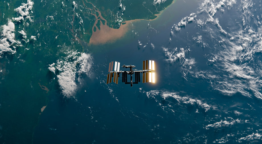
This article discusses the benefits of NewSpace-owned satellites in near-Earth orbits.
1. Helping fight holes in the ozone layer
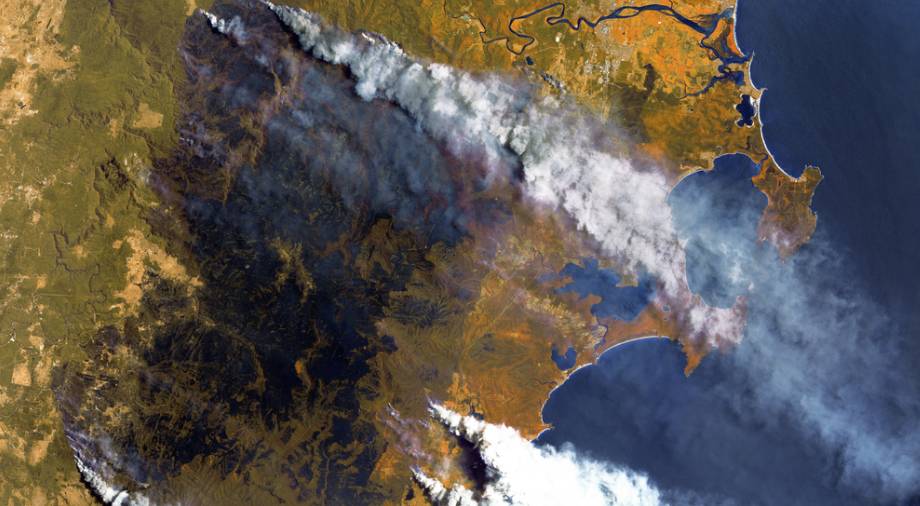
In 1985, a group of British scientists published a study in the journal Nature. They reported that there was a 10-40% drop in the concentration of ozone in the atmosphere in an area over Antarctica, about 1000 km in diameter. This so-called ozone hole was discovered with the help of satellite imagery.
Ozone is a gas formed in the stratosphere, a zone above the Earth’s surface at an altitude of 10-18 to 40-50 km, as well as in the lower layers of the troposphere. Ozone is produced due to the interaction of solar UV radiation with atmosphere oxygen.
This stratospheric ozone – known as the ozone layer – is incredibly beneficial to Earth-based life, as it is one of our main protections against damaging solar radiation. The ozone hole, as a result, threatens to severely reduce our planet’s ability to sustain life.
How is the atmosphere’s ozone destroyed? Harmful industrial chemicals are the main reason. There are substances such as, for example, freons (used in refrigerators), which, when interacting with ozone, lead to its destruction.
The Montreal Protocol was created in order to combat this depletion. It provides for a reduction in the production of certain chemicals.
2. More accurate weather forecasts
It’s hard to imagine a daily routine without a smartphone. There are dozens of applications in these ubiquitous gadgets: banking, social media, sleep trackers, as well as applications and websites for weather forecasting, helping people plan their day or their trips.
The list of the most popular sites and apps for tracking the weather include services like AccuWeather. Traffic analysis site SimilarWeb estimated that in June 2021, this one weather forecasting site was visited by 780 million people around the world, which is about 10% of the world’s population.
The AccuWeather app is also hugely popular. According to PlayMarket, it’s been installed by over 100 million people. By comparison, this works out at almost the same number of people as the population of Egypt, which stands at 102 million people.
Why has it been so successful? AccuWeather provides real-time weather conditions and forecasts for the coming months from virtually anywhere in the world.
This accuracy is provided by satellites. They collect up-to-date data every second, and transmit it so that users around the world can receive a detailed weather forecast for making their weather-dependent decisions.
For example, dispatchers at airports, having received this data, can make decisions such as eliminating the risk of an emergency landing due to bad weather.
Travelers use weather forecasts for travel planning and adjustments. For example, canceling or postponing river rafting or climbing a mountain in case of rain or hail.
3. Helping farmers
Satellites help sustainable agriculture. Farmers around the world are beginning to engage more and more in this practice.
Its essence is in a careful attitude to land resources. For example, “sustainable” crop production is focused on the efficiency of land use through modern technologies: drip irrigation, fertilizers, satellite technologies, and other methods.
Satellite technology in “sustainable” agriculture is the observation of land from satellites, which helps to calculate the amount of drip irrigation and the level of fertilization. In crop production, this approach is called differential fertilization. This is a technology that helps determine the amount of fertilizer needed, depending on the composition of the soil and the needs of each zone of the field, all of which affects the yield.
For example, EOS Data Analytics uses satellite imagery to collect land data. This information helps farmers make good decisions and conserve resources. In addition, by 2023, EOS Data Analytics plans to launch EOS Agrisat, a constellation of satellites designed specifically for agricultural applications.
4. Help solve the problem of deforestation
The World Wide Fund for Nature calculated that a tree is cut down every 2 seconds. And about 13.7 million hectares of forest disappear annually, which is comparable in size to the territories of Greece.
Why is that? One of the main reasons is the growth of the world’s population. Scientists estimate that 1 billion people inhabited the Earth in 1800. In 2020, that number has ballooned up to 7.8 billion, and it grows by approximately 83 million people per year – comparable to the population of Turkey.
Population growth affects the consumption of both food and everyday items. To satisfy this growing demand, farmers have to cut down forests, using that land to plant cereals, legumes and other crops that are used for animal feed.
How do satellites help? They take pictures that show both new cases of deforestation and the dynamics of planting new trees. For example, EOS Data Analytics satellites have recorded new cases of logging in Ukraine. From August 2019 to August 2020, 2.5 times more forests were destroyed in the Rivne region than in the previous year, 5,395 hectares.
Satellite images also show new forests. A striking example are the plantings of the Canadian Ken Chaplin. He set a world record by planting 15,170 seedlings and was honored with a mention in the Guinness Book of Records.
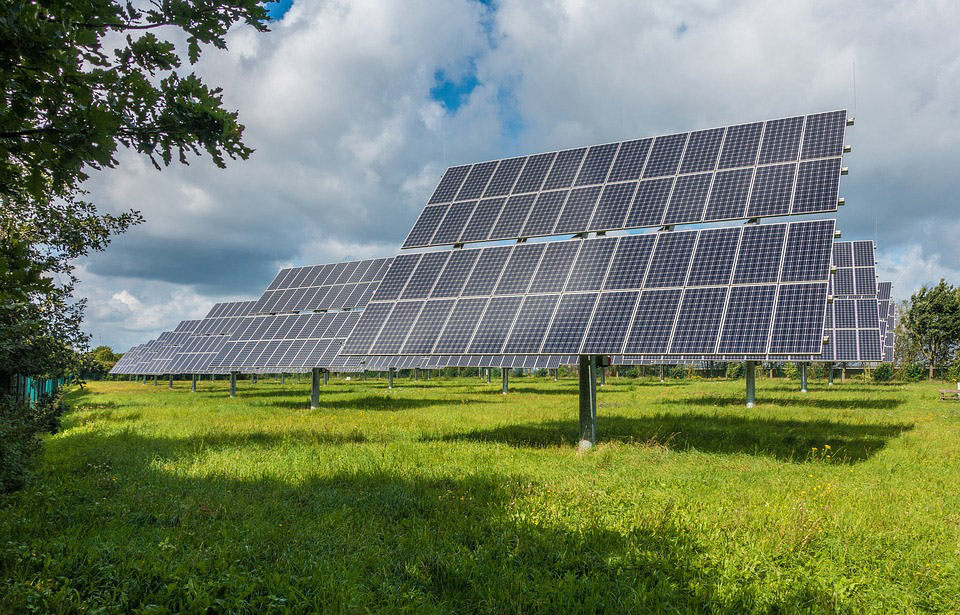
5. Making solar panels popular
In the 1950s, near-Earth space was under scrutiny by the media. They reported on the results of new launches and the opportunities for humanity that these satellites brought. For example, the first devices sent into space tracked changes in the atmosphere.
Solar panels, originally installed on satellites, have become popular on Earth.
Humanity saw them as an alternative to nuclear and other types of energy. Also, solar panels have become an opportunity to generate electricity on islands and “exclusion zones”.
For example, a solar station with a capacity of 1 MW was installed in Chernobyl, the site of a nuclear power plant accident in 1986. The surrounding territory, as a result of the radiation release, was declared unfit for human life.